Menu
Recommended for You
- Choosing a selection results in a full page refresh.


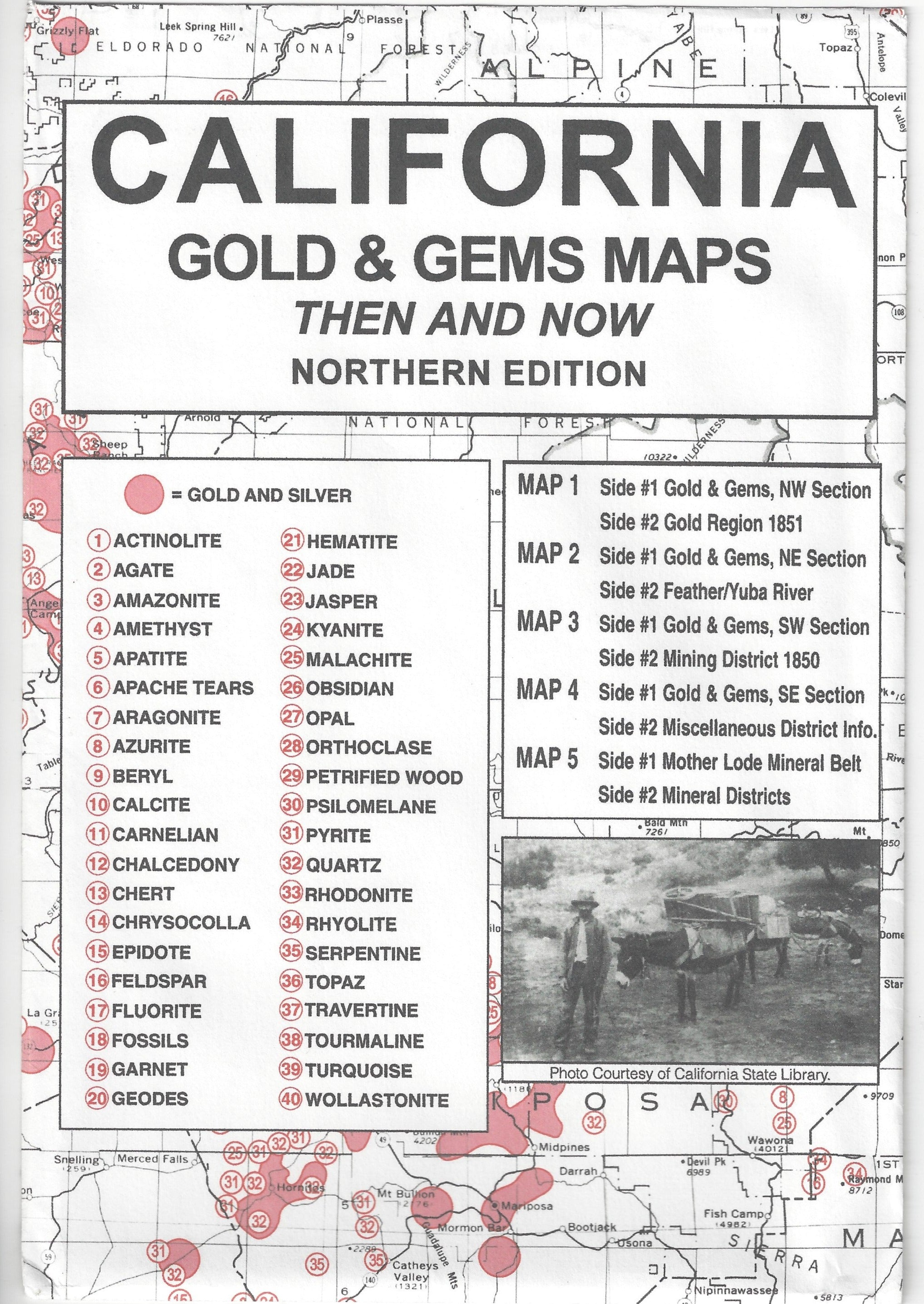
This collection of 5 double sided historical mining maps will help you plan your next prospecting trip.
Then And Now Maps are a unique map series shows changes in gold & gem fields over the last 100 years in selected western states. Each map package includes current USGS maps of the state along with antique turn-of-the-century maps of the same areas for comparison.
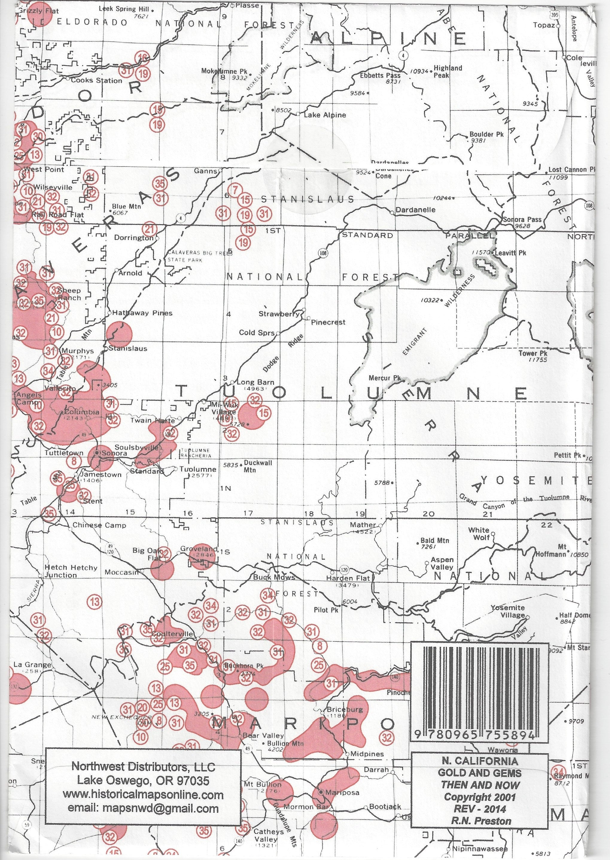
Package contains 5 maps measuring 17.5" x 23" unfolded, printed on both sides and reproduced from authentic documents on file from resources such as National Archives, State Libraries and Geological & Mineral Reports. Maps show 100 years of reported gold occurrences along with gem deposits.
Great stuff buying more from you have to find the coupon you sent me?
Our aim is to establish ourselves as the leading authority and primary source for all your treasure hunting and outdoor supply requirements. Our primary goal is to provide you with exceptional customer support and ensure your satisfaction throughout your entire experience with us.
As a dealer, we pride ourselves not only on being accessible to our customers via phone, but we also actively encourage you to reach out and engage in discussions about your specific needs, skill level, or just to chat a bit about our hobbies.
We are committed to providing ongoing support and assistance to better guarantee your success in your treasure hunting endeavors.
At High Plains Prospectors, the support doesn't end with the sale.
